
12 January
34 min read
Guide to Driving in Iceland with a Campervan

21 April 2025
13 min read
Planning a campervan trip to Iceland? You will rely on navigation a lot, but does Google Maps work in Iceland the way you need it to? The short answer is yes. The long answer is that it depends on where you are going.
Google Maps is great for major roads, cities, and attractions, but it struggles with F-roads, private property, and winter closures. Trust it blindly, and you could end up in a ditch or a farmer's driveway. This guide breaks down where Google Maps works, where it fails, and what to use instead so you do not end up stranded when road tripping with your camper rental in Iceland.
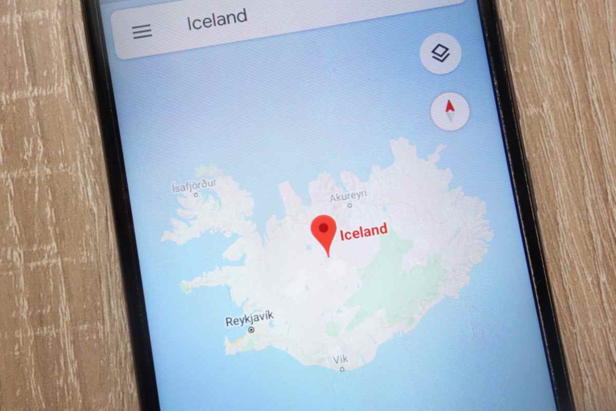
Yes, but it has quirks. Google Maps in Iceland is reliable in Reykjavik, along the Ring Road, and at most major sights, but a campervan traveler needs more than that.
Finding fuel stops, remote campsites, and dump stations is not always straightforward.
Cell service is spotty in remote areas.
Road closures are often outdated on Google Maps.
Follow directions without question, and you might end up stuck on a restricted road or crawling down a trail meant for hikers, not vehicles. Knowing when to trust Google Maps and when to double-check your route can save you a serious headache.
It depends on where you drive. On paved roads and popular tourist routes, it does fine. If you are heading into Iceland's Highlands, rural areas, or F-roads, expect errors, outdated routes, and missing details.
Main highways like Route 1 (Ring Road), the Golden Circle, and South Coast
Popular attractions, restaurants, and gas stations
City navigation, including Reykjavik and Akureyri
F-roads and highland tracks – Does not always mark river crossings or steep inclines.
Campsites and dump stations – Some are missing, others are placed incorrectly.
Rural gas stations – Some listed do not even exist anymore.
If your itinerary includes off-grid areas, you need backup navigation tools.
Picture this. You are parked at a remote campsite, soaking in the silence, and your phone flashes No Service. No Wi-Fi. No data. No way to check directions.
This is a common problem in Iceland, which is why downloading offline maps before your trip is a must. Without them, you risk getting lost, missing fuel stops, or struggling to find campgrounds. A good navigation tool ensures you can explore without worrying about dead zones or Google Maps leading you to an impassable road.
To keep your Iceland road trip running smoothly, use these offline maps:
How to Download: Open the app, search for 'Iceland', tap the location bar, and select 'Download.'
Pros: Works well for main roads and major attractions.
Cons: Limited details on remote areas and campervan-specific stops.
How to Download: Install the app, search for Iceland, and download the country map.
Pros: Includes hiking trails, campsites, and backroads.
Cons: Some info may be outdated.
How to Download: Open the app, select Iceland, and download map regions.
Pros: Ideal for F-roads and rugged routes.
Cons: Requires a subscription for full features.
How to Download: Install the app, browse Iceland, and save offline maps.
Pros: Campervan-specific with campsites, rest areas, and dump stations.
Cons: Some listings lack details.
Use Google Maps for main roads, but rely on Maps.me, Gaia GPS, or Park4Night for off-the-grid navigation.
Not all navigation apps are created equal. Google Maps is fine for everyday driving, but some apps handle Reykjavik traffic better, while others will not send you into a glacier by accident.
Google Maps: Reliable for Reykjavik and town driving but slow to reroute in heavy traffic.
Waze: Faster traffic updates and rerouting, but no offline mode.

Garmin GPS: Built for Icelandic terrain, showing topographic details and safe F-road routes.
Google Maps: Does not always distinguish between a dirt road and a disaster waiting to happen.
Maps.me: Great for remote camping spots and small roads.
Google Maps: Works in populated areas but lacks detail in rural regions.
Use Google Maps for city driving, Garmin for F-roads, and Maps.me or Park4Night for campgrounds.
Google Maps is not perfect, and if you trust it too much, you might find yourself in a situation no tow truck wants to deal with. Here is what to watch for.
Google Maps does not always warn about road size, height limits, or dead ends. A campervan is not a compact car, and some roads just do not accommodate large vehicles.
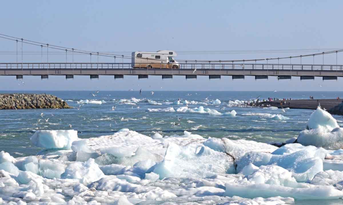
Low bridges and tunnels – Iceland has height-restricted roads that Google Maps might not flag.
Narrow rural roads – Some are too tight for a campervan, with no space to turn around.
Dead-end roads – Campervans need space to turn, but Google Maps may send you where that is not an option.
Use a campervan-friendly GPS like Aguri Motorhome Sat Navs.
Check your route before driving instead of assuming Google Maps knows best.
Use multiple apps – Google Maps for city driving, Park4Night for campsites, and Vegagerðin for road conditions.
Google Maps is useful, but it is not your only tool. Plan ahead, check road restrictions using Umferdin, and do not trust it with your life.
A campervan trip through Iceland is about freedom, but Iceland's Google Maps does not always make it easy. You need to plan ahead to avoid running out of fuel in the middle of nowhere or scrambling for a proper rest stop. Here is how to use Google Maps wisely and make your Icelandic adventure stress-free.
Gas stations can be few and far between outside major towns. A little planning goes a long way.
Use Google Maps for station locations, but do not assume everyone is open. Some remote stations have limited hours or require a special fuel card.
Check gas station maps like ViaMichelin for a full list of locations across Iceland.
Compare fuel prices in Iceland with GSM Bensin to avoid overpaying. Prices vary, and some stations are far more expensive than others.
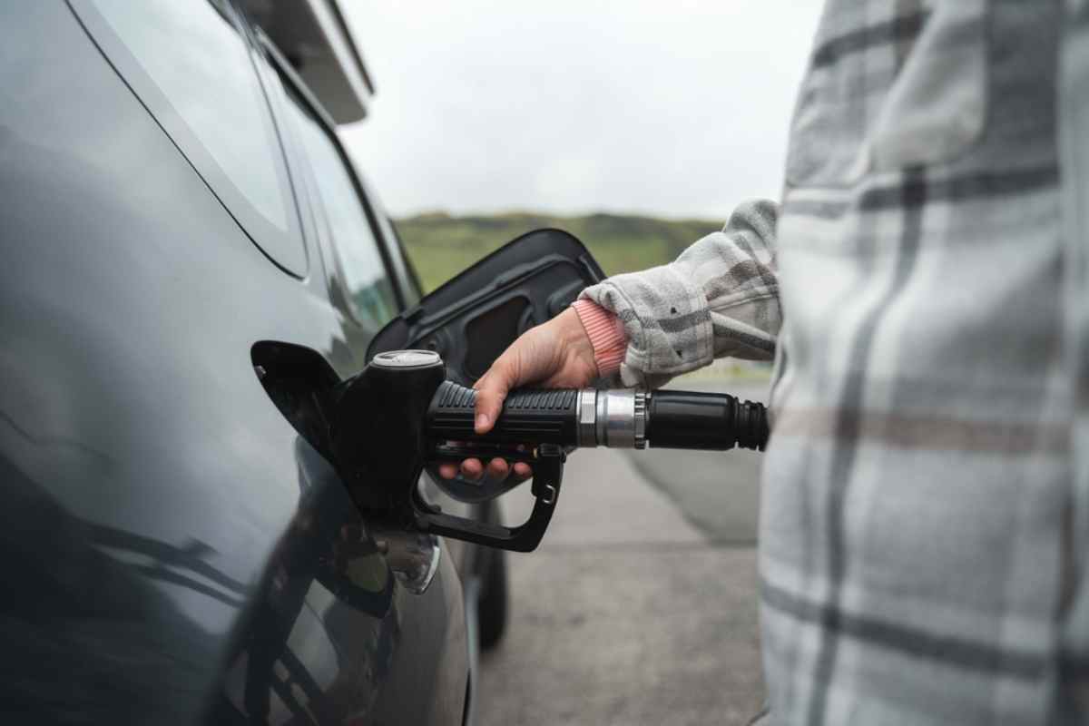
Run out of fuel in Iceland, and your scenic stop turns into a waiting game for roadside assistance. Always top up when you can, especially before heading into real-time remote areas.
Knowing where to stop makes all the difference on an Icelandic adventure.
Campsites: Google Maps can help locate designated campsites with facilities like showers and toilets. The Iceland Camping Card offers access to multiple sites at a fixed rate.
Public Restrooms and Pools: Many heated pools in Iceland have showers you can use for a small fee. Public restrooms are available, but they are not always free.
Skip the roadside naps and plan ahead. Some areas strictly prohibit overnight parking outside official campsites, and fines are no joke.
If you are driving a campervan, dealing with waste is part of the journey. Do it right to avoid trouble.
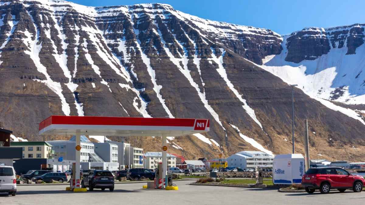
Finding the perfect campervan depends on your travel style, route, and group size. Here are the five most popular campervan models we highly recommend for different types of travelers.
Seats 2, Sleeps 2
Manual or Automatic
Compact, fuel-efficient, and easy to drive
Comes with a gas stove, water tank, and optional camping gear
Perfect for those who want a simple, no-fuss campervan
Why choose it? Affordable, practical, and great for road trippers who do not need luxury but just freedom.
Seats 2, Sleeps 2
Manual or Automatic
Built-in heating system for chilly nights
Small enough for city driving but roomy enough for comfort
Great for exploring the Ring Road and smaller towns

Why choose it? A cozy, fuel-efficient camper ideal for two people who want comfort without the bulk.
Seats 4/5, Sleeps 2
Manual 4WD
Rugged and ready for F-roads and off-grid camping
Includes a roof tent, fuel discount card, and unlimited mileage
Perfect for travelers heading into Iceland's Highlands
Why choose it? If you plan to drive F-roads, this 4x4 is your best option.
Seats 3, Sleeps 3
Manual Diesel
Built-in heating system, full camping setup, and unlimited mileage
Spacious interior with enough room for a small group
A great option for friends or a small family traveling together
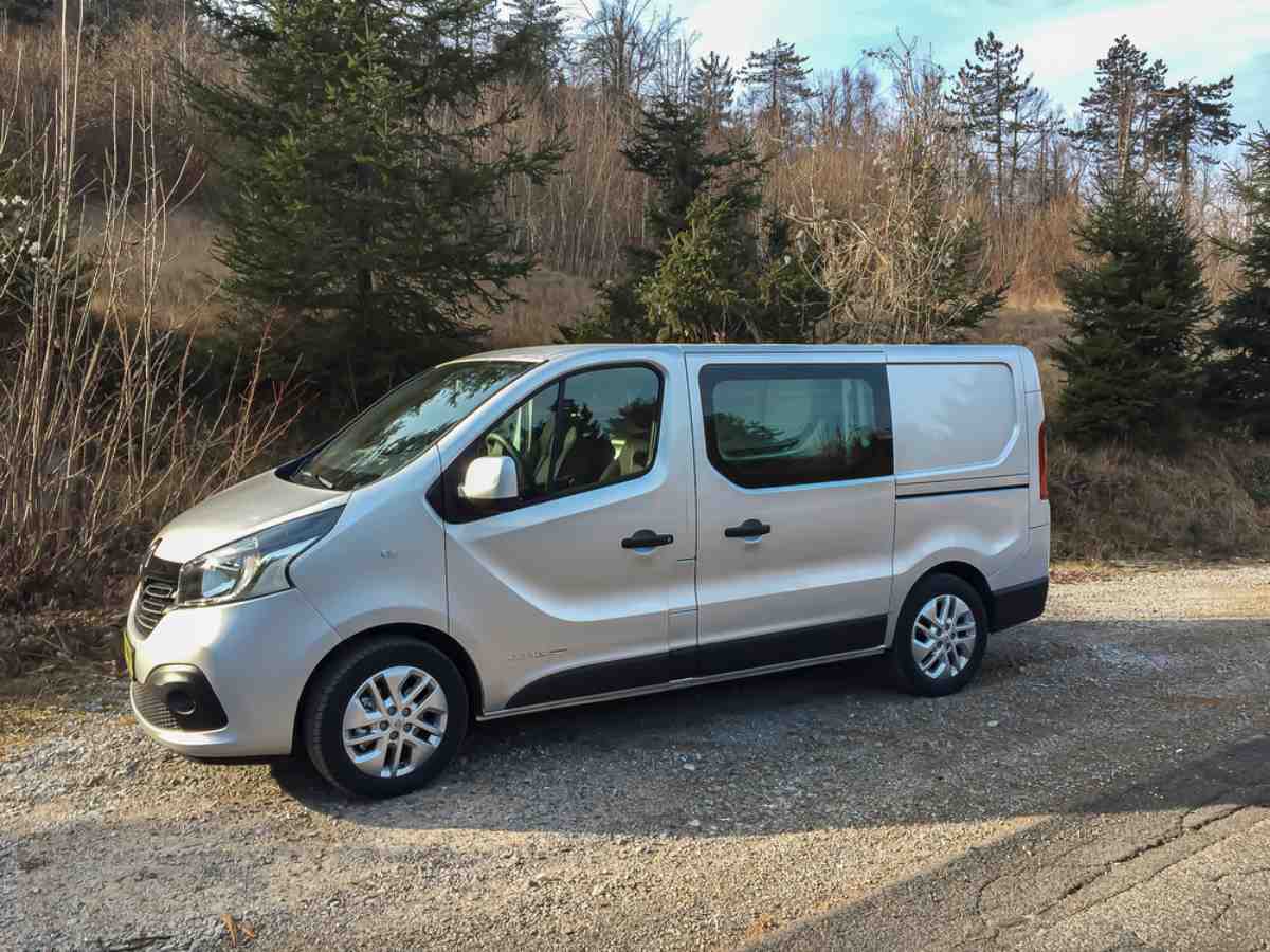
Why choose it? It has more space than a two-person van but is still compact enough for easy driving.
Seats 5, Sleeps 5
Manual Diesel
Equipped with a kitchen, heating system, and sleeping room for a family
Ideal for a comfortable road trip with kids
The best choice for longer stays and family travel
Why choose it? If you are traveling with kids or need extra room, this van offers the most space and comfort.
A well-equipped campervan makes all the difference when exploring Iceland. Renting the right vehicle ensures a smooth, stress-free journey.
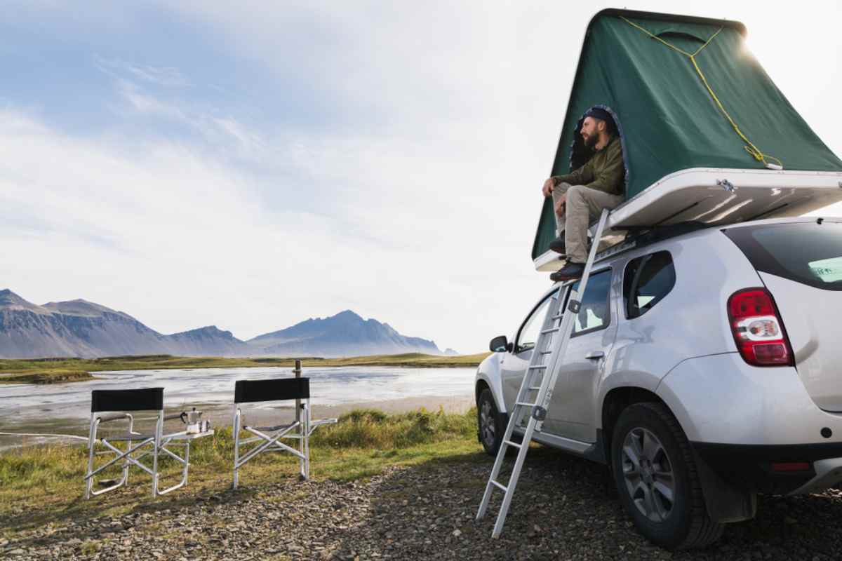
Planning to drive F-roads? A 4x4 campervan is essential. Iceland's highland roads require extra clearance and traction, and regular campervans are not allowed on these routes.
Need reliable navigation? We offer Garmin GPS rentals, so you can avoid relying solely on Iceland's Google Maps.
Want to stay connected? Rent mobile WiFi at a reasonable rate and access real-time updates on road conditions, weather, and campsite locations.
Book your campervan in Iceland today and hit the road with confidence.
So, does Google Maps work in Iceland? Yes, but it is not perfect. It will get you to major attractions, fuel stops, and cities, but it struggles with F-roads, rural areas, and real-time road closures. Trust it blindly, and you might end up stuck, lost, or reversing down a dead-end road.
For a smooth road trip, use Google Maps for general navigation, but bring a backup. Offline maps, a Garmin GPS, and apps like Park4Night will save you from frustration. Plan ahead, stay flexible, and don't let a bad route ruin an epic trip.
Inside this article
More Iceland Stories to Explore
Discover more tips and tales to fuel your next saga
Join thousands who have booked with us
Iceland's most booked campervan of 2025 is waiting. Secure yours today!
Your rental comes with:
Handy Extras
Essential Insurance Plan
Unlimited Mileage
Flexible Cancellation